If you wish to join our next outing simply click on the filename above and follow the instructions given on the sheet. Proposed walking routes are provided on the file below.
Tag: swaledale
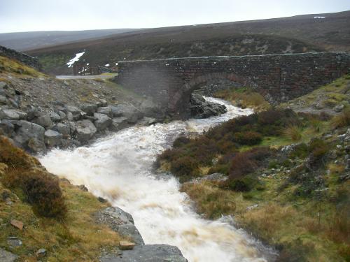
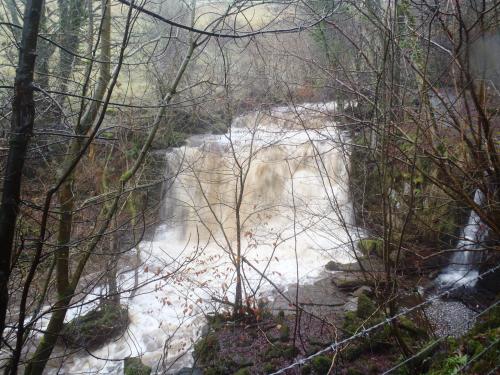
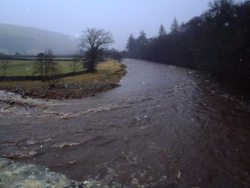
Swaledale is one of the northernmost dales (valleys) in Yorkshire Dales National Park, located in northern England. It is the dale of the River Swale on the east side of the Pennines in North Yorkshire.
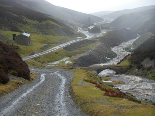
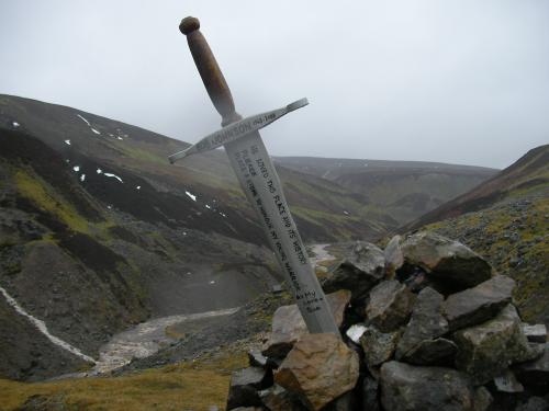
Swaledale runs broadly from west to east, from the high moors on the Cumbria–Yorkshire boundary at the watershed of Northern England to the market town of Richmond, where the dale meets the lowlands. Nine Standards Rigg, the prominent ridge with nine ancient tall cairns, rises on the watershed at the head of Swaledale. To the south and east of the ridge a number of smaller dales (Birkdale, Little Sleddale, Great Sleddale and Whitsundale) join to form the narrow valley of upper Swaledale at the small village of Keld. From there, the valley runs briefly south then turns east at Thwaite to broaden progressively as it passes Muker, Gunnerside, Low Row, Healaugh and Reeth.
The Pennine valley ends at Richmond, where an important medieval castle still watches the important ford from the top of a cliff. Below Richmond, the valley sides flatten out and the Swale flows across lowland farmland to meet the Ure just east of Boroughbridge at a point known as Swale Nab. The Ure becomes the Ouse, and eventually (on merging with the Trent) the Humber.
From the north, Arkengarthdale and its river the Arkle Beck join Swaledale at Reeth. To the south, Wensleydale, home of the famous Wensleydale cheese, runs parallel with Swaledale. The two dales are separated by a ridge including Great Shunner Fell, and joined by the road over Buttertubs Pass.
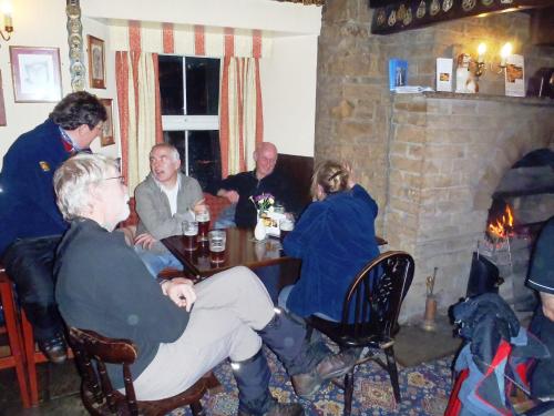
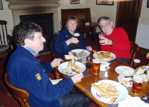
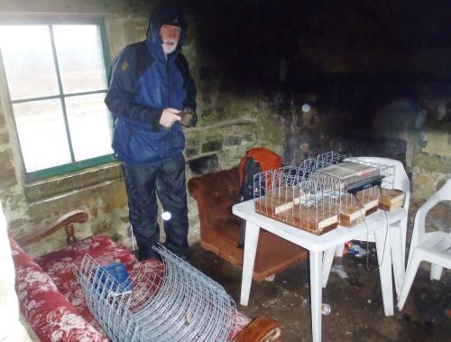
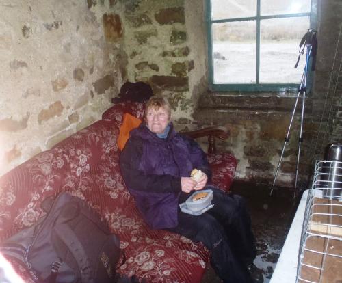
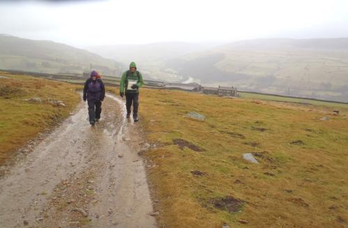
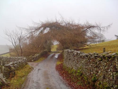
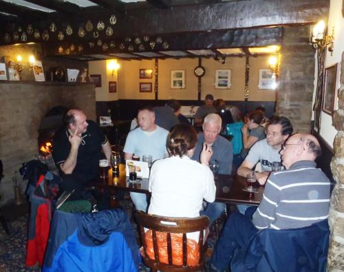
Swaledale 2011
Photos by EddyAycliffe
2011 01 Swaledale Photos

Recent Comments