AFWC 427 February 14th 2026 -Housesteads to Corbridge website walk sheet (1)
Category: Pennines
The Pennines, also known as the Pennine Chain or Pennine Hills, are a range of uplands running between three regions of Northern England: North West England on the west, North East England and Yorkshire and the Humber on the east. Commonly described as the “backbone of England”,[2][3] the range stretches northwards from the Peak District at the southern end, through the South Pennines, Yorkshire Dales and North Pennines to the Tyne Gap, which separates the range from the Border Moors and Cheviot Hills across the Anglo-Scottish border, although some definitions include them.
AFWC 423 Worth Way Keighley Circular 11.10.2025
Newton News and Bishop Press – review of July walk
AFWC 420 Bingley to Gargrave – Leeds/ Liverpool Canal 12.07.2025
Newton News 16.05.2025
The following article appeared in Page 11 of today’s online edition…..
Fell Walkers
Yet another bright day welcomed members of Aycliffe Fell Walking Club
(AFWC) to walks focusing on walks up to High Cup Nick and others in
the Appleby area of Cumbria.
Of the 42 walkers who ventured out, around 12 took the longer east
route from Appleby up to High Cup Nick, a breath taking glacial feature
with an almost perfect U-shaped valley and a challenging section of the
Pennine Way. After the long, gradual ascent, the group enjoyed lunch
looking down over the sumptuous views across the valley below. This
is very high on the must-do-list of every hill walker and, once visited, it
has a habit of calling you back. Taking a more western descent, via the
Pennine Way, the group enjoyed a pint at The Stag Inn, Dufton (another
Honeypot for walkers) before their eventual return to Appleby to meet
up with other groups.
Two smaller groups had decided to walk from Brough to Appleby either
via paths close to the Eden Valley Railway or slightly further south via
Great Musgrave to join ‘A Pennine Journey’ which closely followed the
River Eden. These walkers enjoyed views from bridges over fish-filled
rivers, herons and rolling hills.
By far the largest group decided on a 10-mile circular route starting on a
more northern section of “A Pennine Journey” to Dufton via Burthwaite.
They too enjoyed drinks at the much-extended Stag Inn before heading
back to Appleby via Brampton for much needed refreshment on such a
hot day.
The next walk is in the Lakes, with walks from Elterwater to Ambleside.
The five main routes chosen range from 7-14 miles in length, feature
a walk through Cathedral Cavern and offer lowland routes as well
as modest and more challenging climbs. Please look at the website:
aycliffefellwalkingclub.com for further details or if you are interested in
joining us. Annual membership of £10 runs from January to December,
with each walk outing costing £15 to cover the cost of the coach. We
look forward to your interest.
AFWC 418 High Cup Nick – Brough to Appleby
AFWC 413 Bowlees to Barnard Castle 14.12.2024
AFWC 411 Hadrian’s Wall: Bradley Hall to Twice Brewed 12.10.2024
AFWC 405 Kirklees to Holmfirth 13.04.2024
9 September 2023 – Forest of Bowland
It was a warm, humid but misty start to the walk when the coach dropped us off at Jubilee Tower, Quernmore, Lancaster. The tower was built in 1887 to mark Queen Victoria’s Diamond Jubilee and the car park near it was created by the council when the tower was gifted to them. During the car park construction, they uncovered a burial ground.
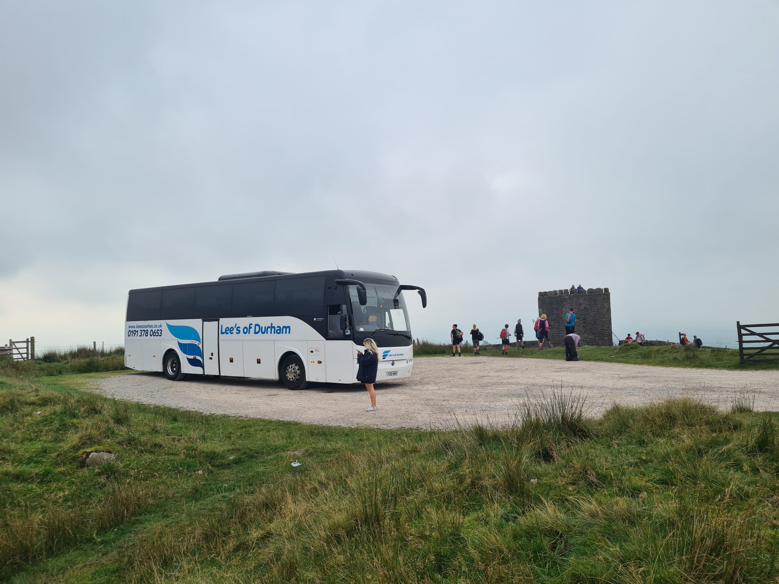
Coach drop off and Jubilee Tower
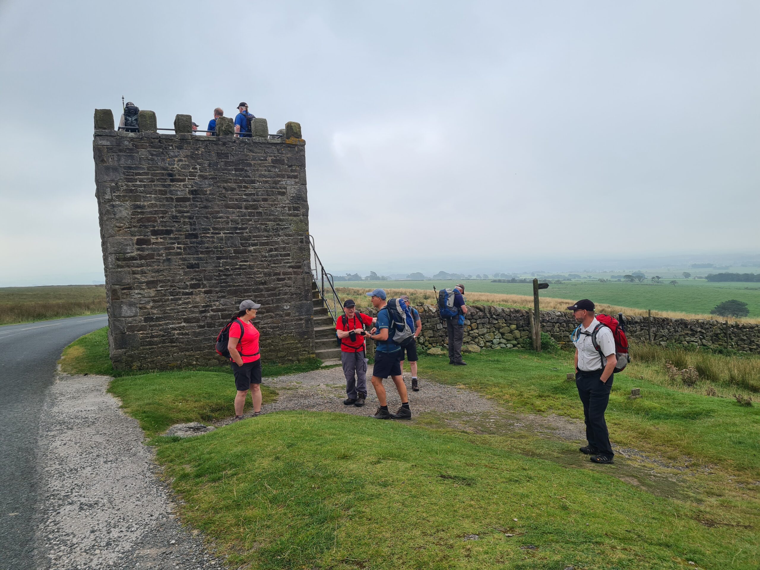
Jubilee Tower (Victoria Diamond Jubilee 1887) A stone on the tower was engraved with “This tower was erected by James Harrison of Hare Appletree in commemoration of the Jubilee of Her Majesty Queen Victoria ANNO DOMINI 1887”
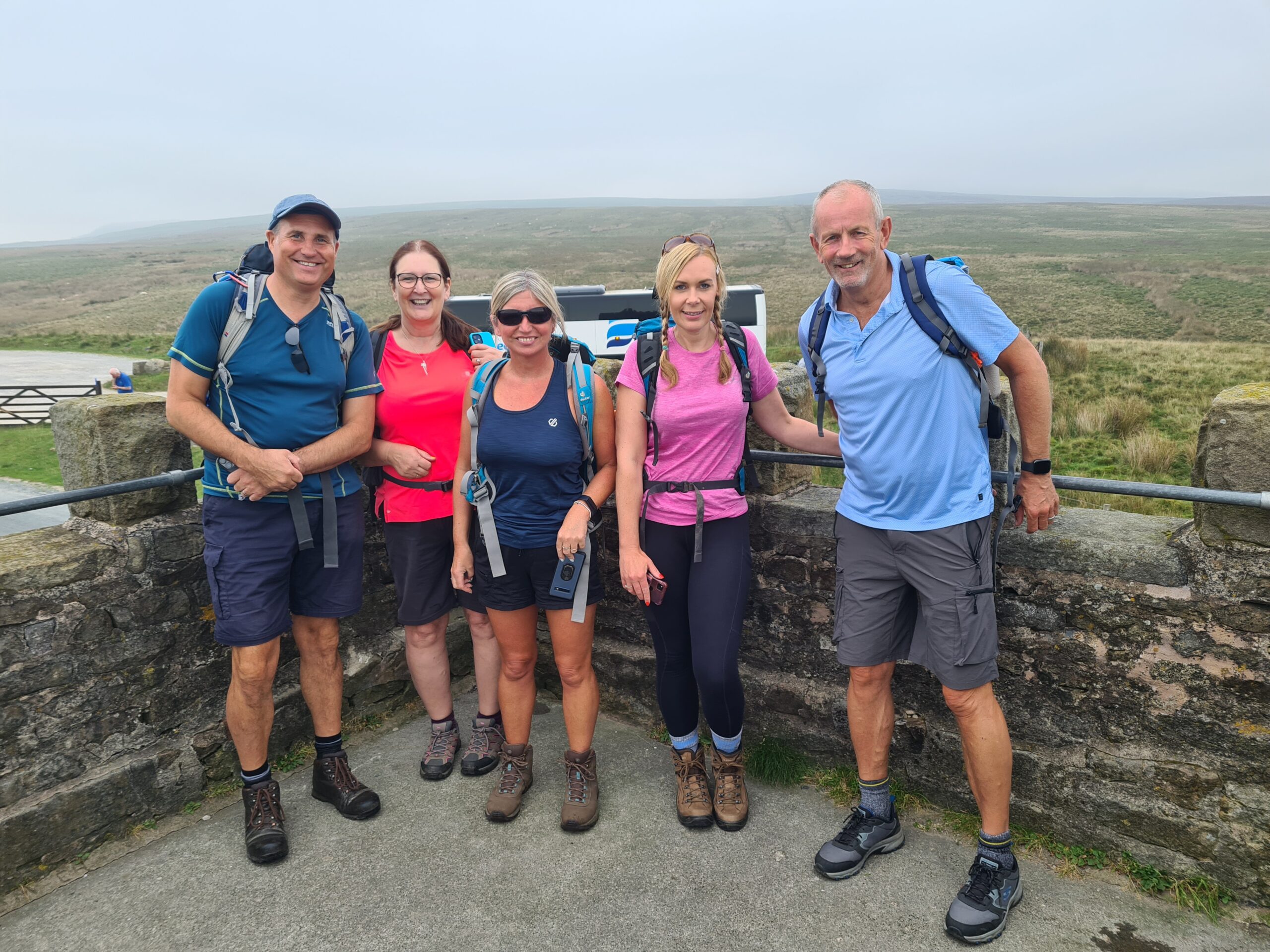
Colin, Nina, Girls (sorry I can’t remember your names) and Mick on Jubilee Tower
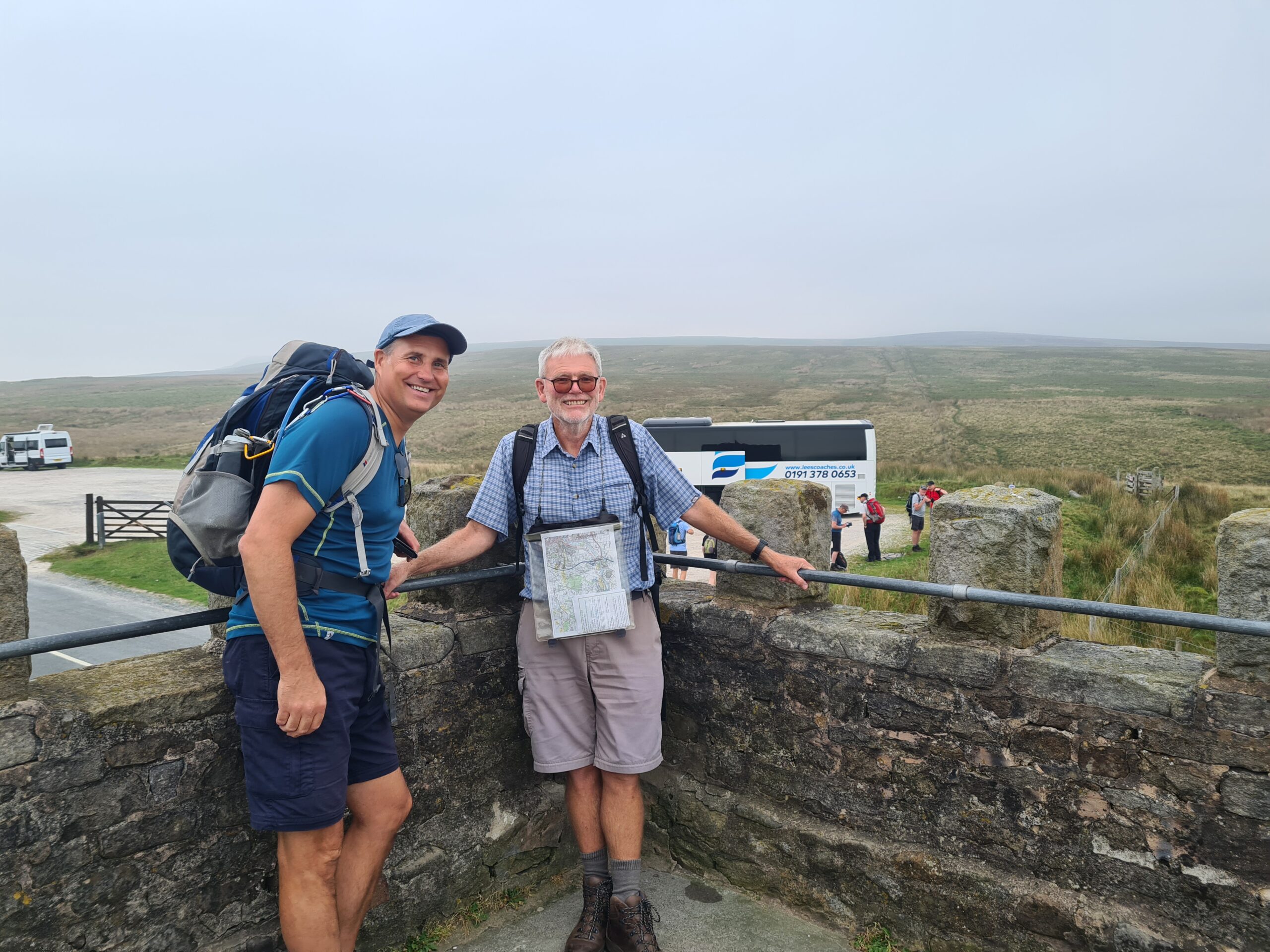
Colin and Barry on Jubilee Tower
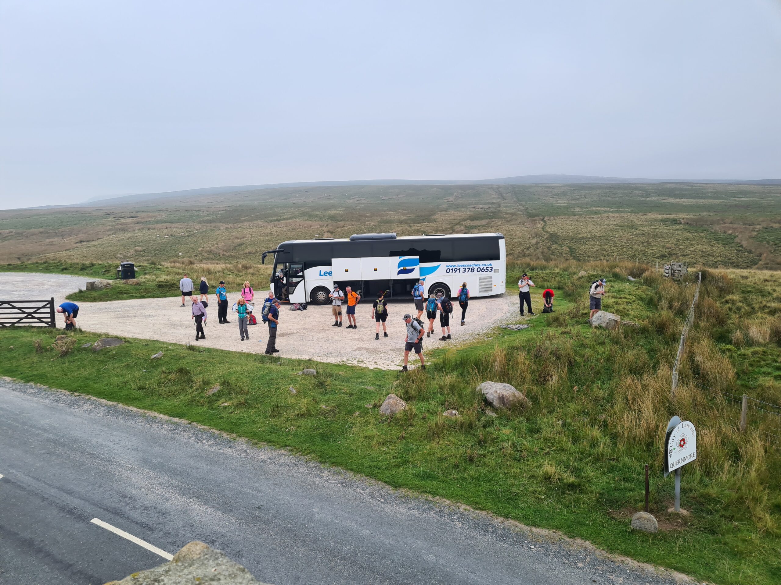
Coach and AFWC walkers with the Forest of Bowland and Grit Fell behind
Most walkers headed downhill to complete a walk to and along the coast into Lancaster, a small goup of fit members headed to the Forest of Bowland to do a fell walk of about 15 miles. For me I decided to do part of this long walk, encompassing the fells but shotening it by about a mile so, I headed uphill from the drop off point aiming for Shooters Pile (cairn) and Grit Fell
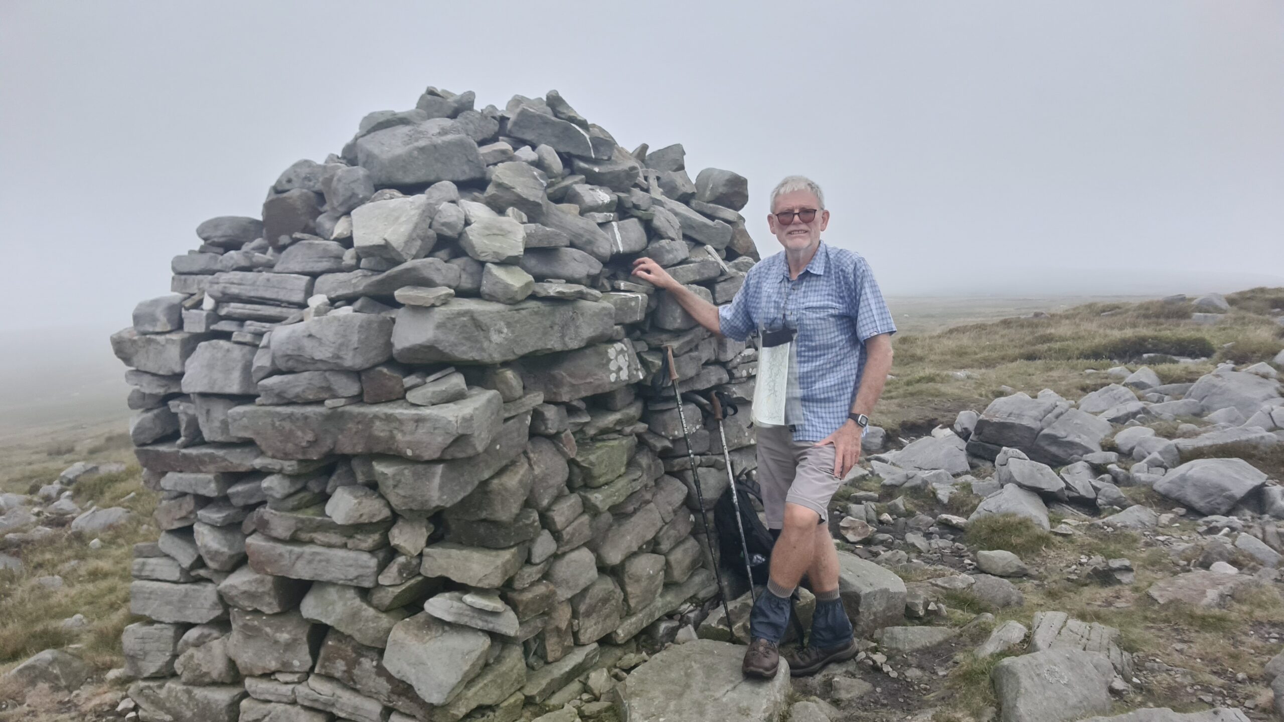
Shooter’s Pile cairn on Grit Fell
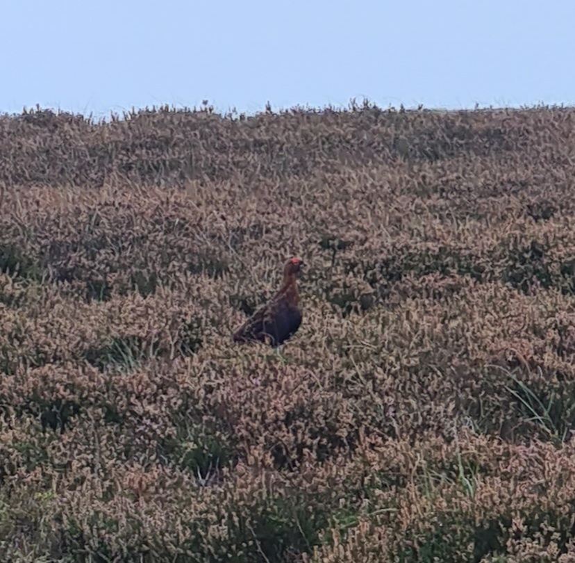
Amongst the Bilberry and Heather, one of the many grouse on the fells of the Forest of Bowland
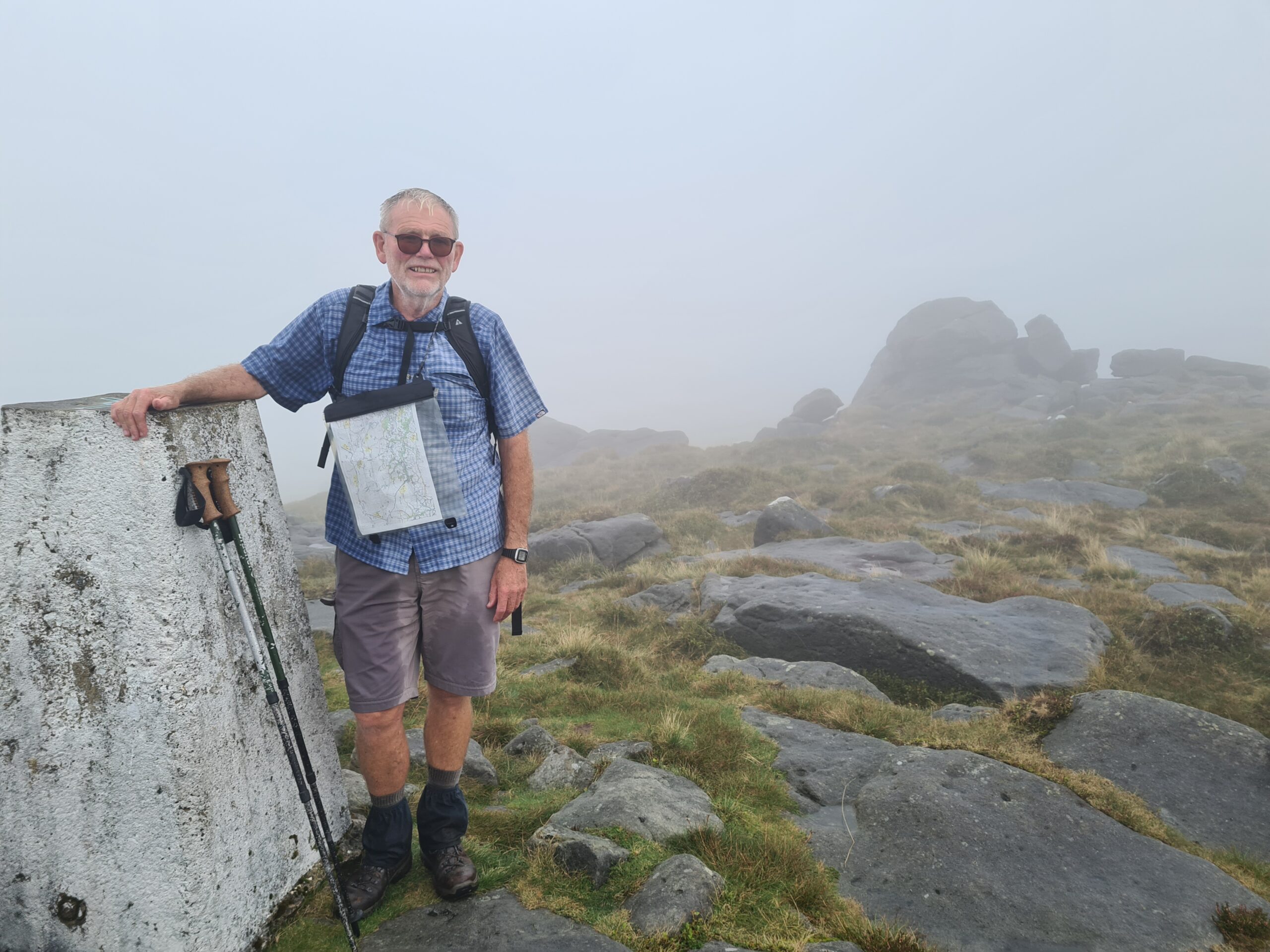
I then continued over the fells to Lancashire’s second highest peak, Ward’s Stone. It was so humid and warm that when the heavens opened and rain fell heavily, it was most welcome, even though I was soaking wet. Ward’s Stone is a flat topped hill and has two triangulation points about a kilometer apart. Whilst I was there and over a period of just a few minutes, the mists cleared and the views majestically appeared.
Ward’s Stone 560m in the mist. The second highest hill in Lancashire.
Ward’s Stone 560m as the mist vanished.
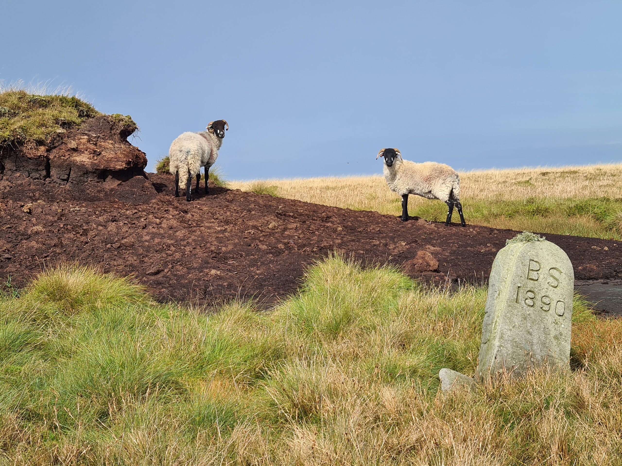
Sheep on Ward’s Stone & a Geographical Marker
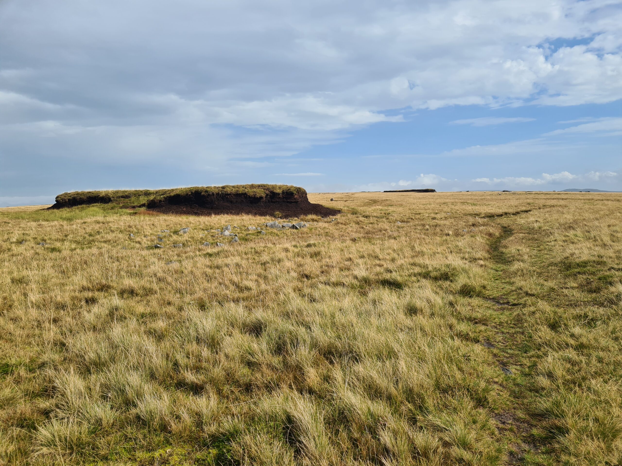
The Flat top of Ward’s Stone hill.
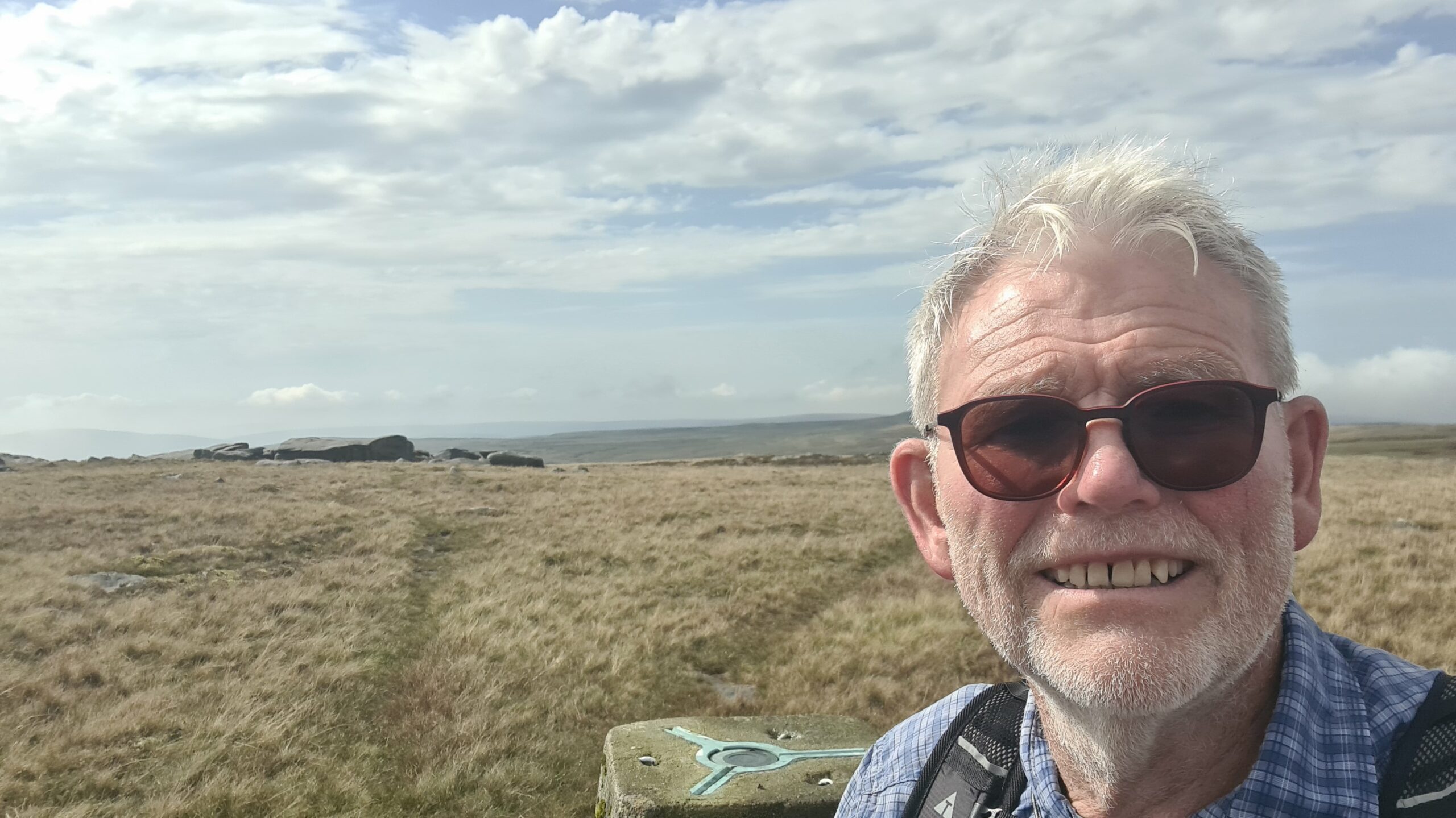
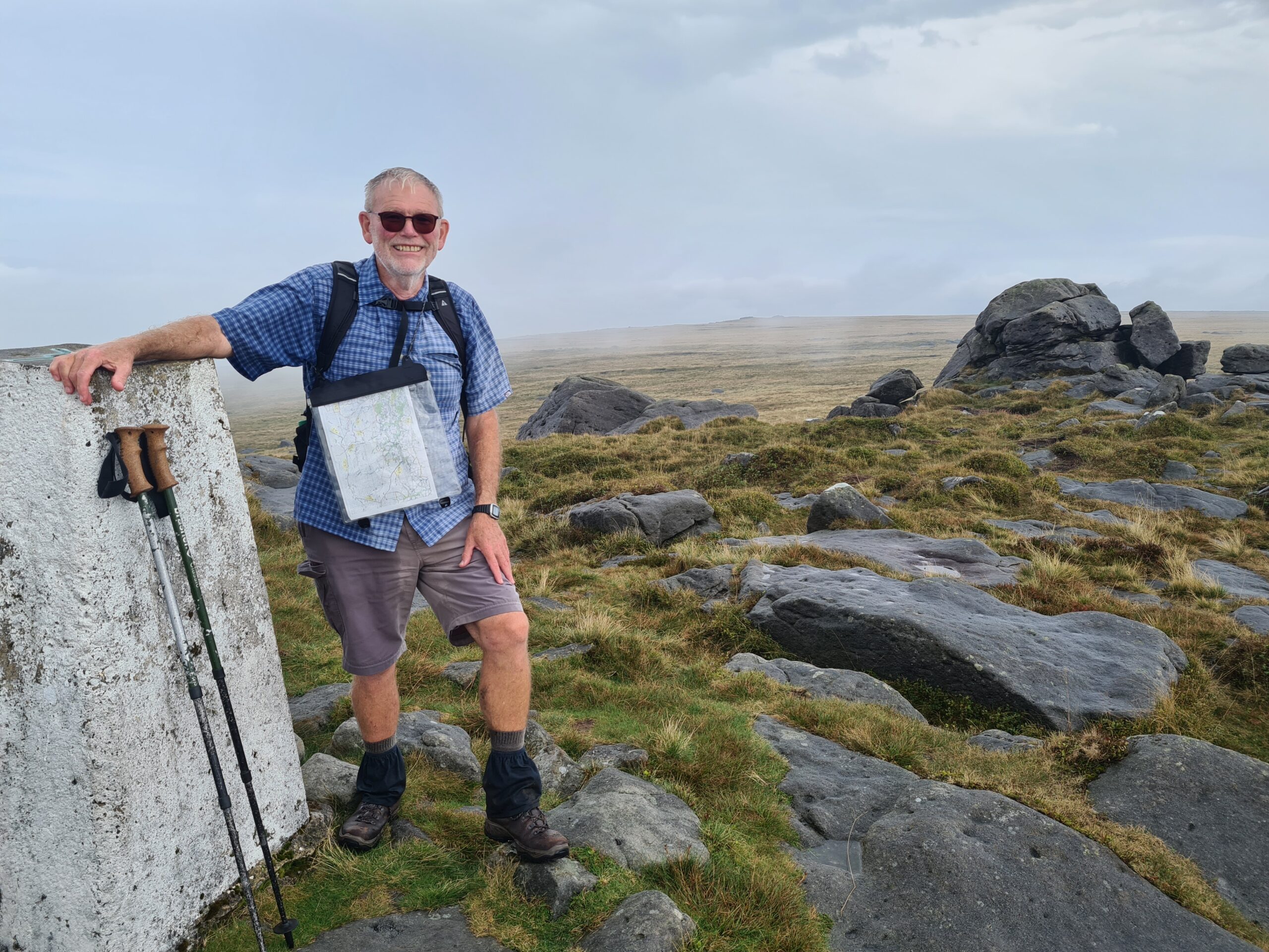
Barry at the second triangulation point (561m) on Ward’s Stone
I then retraced my steps before taking a track through the old Clough Quaries down to Cragg Wood. This ancient wood is a “Specal Area Of Coservation” because of its upland location and the Sessile Oaks and Birch trees that grow there.
Ancient Cragg Wood with old upland Sessile Oak trees
From Cragg Wood there was what seemed to be a very long trek along minor country roads and then over the M6 into Lancaster City to complete about 14 miles and where the Crafty Scholar and the Lion Inn provided some welcome food and refreshements for a weary walker.
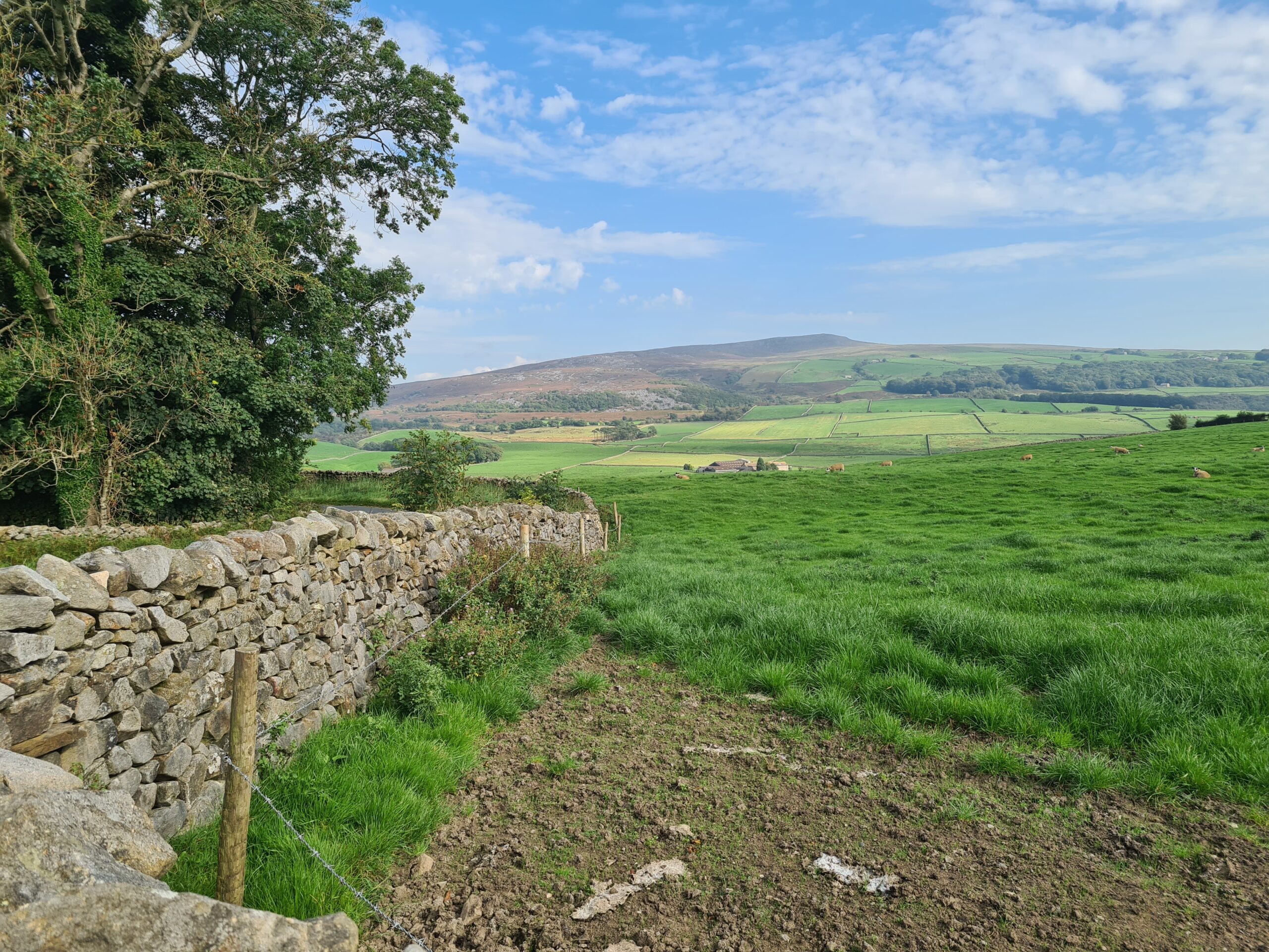
Looking back to the the Forest of Bowland and Clougha Pike taken from about halfway to Lancaster.
On the coach home, I was pleasently surprised by Andy Jakob wishing me a “Happy 70th Birthday”. Thank you Andy and the birthday wishes from those on board!

Recent Comments